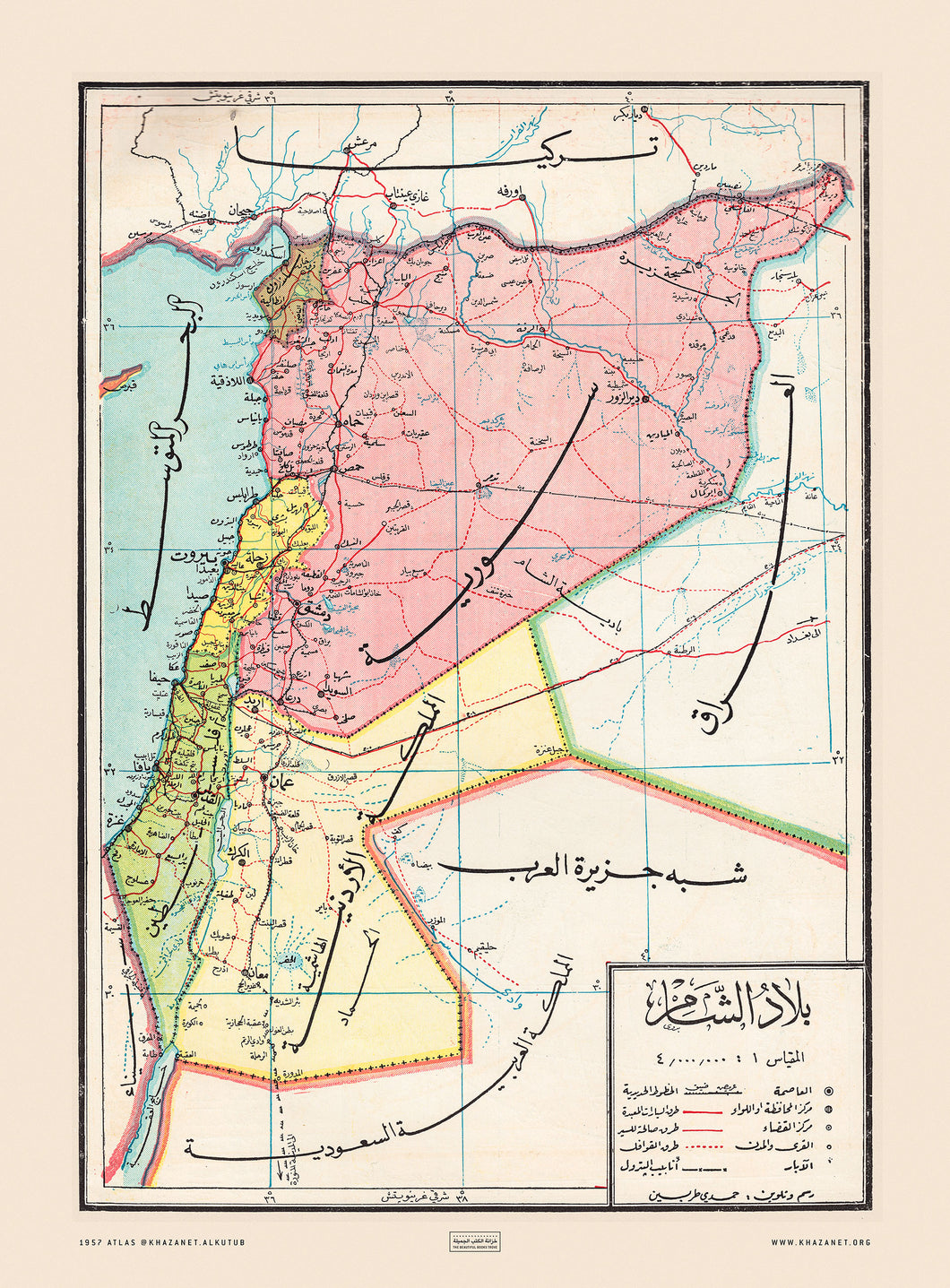
Great vintage map for the Levant countries in Arabic script, hand drawn by the Syrian cartographer Hamdi Tarabain, and written by the hands of the renown Syrian Arab calligrapher Badawi Al-Dairany, reproduction from an Atlas that was published in Damascus in 1957.
Printed on cotton paper, 180 GSM, unframed, FREE shipping worldwide.
Shipping with tracking number in 72 Hours from the order time.
Kindly contact us if you want more custom sizes or paper/canvas materials.